Security Systems Evolve: LiDAR Takes Center Stage in Next-Gen Threat Detection
Security systems are ditching simple detection for a richer, more insightful understanding of unfolding events. At the heart of this evolution? Advanced sensing technologies like LiDAR, delivering precise 3D data that enhances tracking, slashes false alarms, and speeds up response times.
From vital infrastructure to bustling transportation hubs and sprawling corporate campuses, security operators are increasingly seeking solutions that blend accuracy with seamless integration. While video surveillance, access control, and perimeter sensors remain crucial, the industry is now embracing technologies capable of weaving these inputs into a unified spatial view.
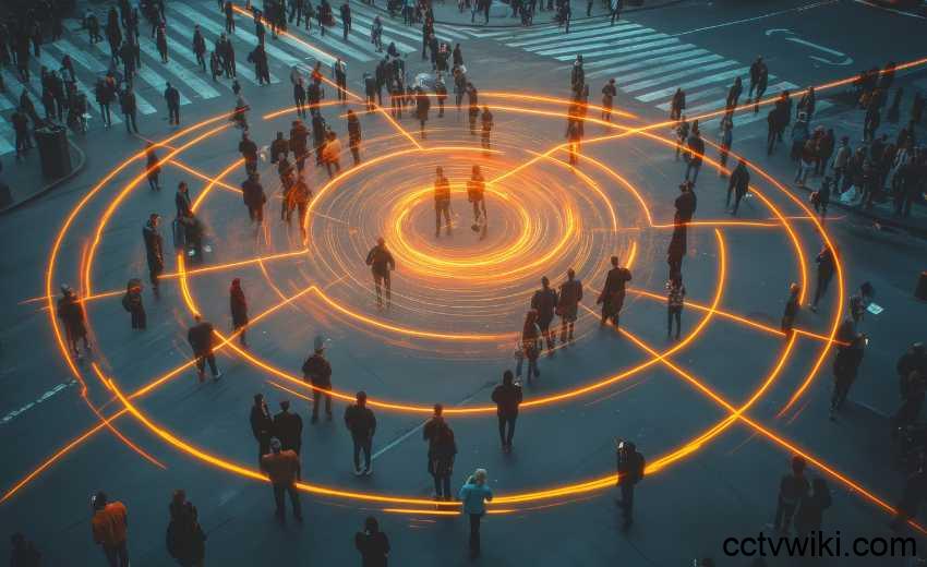
Imagine digital twins, real-time data streams merging, and AI-powered analytics working in harmony. Operators can now understand not just the *where* of an event, but also its magnitude, trajectory, and potential danger.
Leading the charge is LiDAR. Once primarily confined to the automotive and industrial sectors, LiDAR is now emerging as a reliable cornerstone of security solutions. Its ability to consistently detect and classify objects, even in challenging conditions, is a game-changer.
For systems integrators, this technology is unlocking new opportunities. They can now craft solutions that transcend traditional perimeter protection, providing a truly unified operational picture.
LiDAR for Precise Detection and Tracking
“LiDAR is a key technology for achieving precise, reliable, and consistent real-time object tracking,” says Martin Vojtek, business director for 3D surveillance at Hexagon’s Safety, Infrastructure and Geospatial division.
Hexagon’s LidarVision platform uses volumetric detection to provide precise 3D data on the position, size and speed of moving objects. This approach allows operators to track intrusions and movements with a level of precision that is difficult to achieve with traditional sensors.
Because LiDAR units are installed in fixed positions, coverage planning is essential. “It is crucial for us to understand the exact scene coverage and identify any gaps between sensors,” Vojtek explained.
To achieve this, the company uses the HxGN dC3 Designer planning tool, which allows virtual LiDAR units to be placed in digital twins of the environment. This visualization helps ensure that deployments provide complete coverage before hardware is installed on site.
Unlike many hardware manufacturers, which typically list only maximum beam range in datasheets, Vojtek noted that his team provides “realistic range information relevant to security deployments, focusing on the point resolution achievable at a given distance for static installations.”
A proprietary method called Grid-Validated Target Detection (GVT) is applied to determine the minimum point density required to detect a human figure, offering integrators a more practical understanding of system performance in real-world scenarios.
Reducing false alarms remains a key focus. “LidarVision also includes built-in mechanisms to minimize false alarms, such as adaptive snapshotting, which dynamically adjusts to environmental changes and ensures that only new or moving objects are detected,” Vojtek said.
Importantly, the system is designed to be open, supporting more than 50 types of LiDAR units from leading global manufacturers, enabling integrators to choose the most suitable model for each project.
For integrators, the ability to combine flexible sensor choices with precise performance data helps ensure that deployments are both scalable and adaptable. This flexibility can prove especially useful in large-scale projects such as airports, seaports or industrial campuses, where different zones may require different sensor models to meet performance and environmental demands.
Integration Across Security Systems
For physical security professionals, integration between systems is often the foundation of situational awareness. Vojtek emphasized that critical integrations vary by use case, but often include video surveillance, access control and perimeter security systems such as LiDAR.
These technologies are typically unified through an operations control system or a Physical Security Information Management (PSIM) platform.
“In the case of HxGN dC3 LidarVision, we directly integrate sensors that provide precise position information for detected objects, such as 3D LiDAR units and radar,” Vojtek said.
While radar does not always provide elevation data, it contributes valuable information. Intruders, for example, can be visualized on maps with a beam representation. Other conventional security sensors such as fence vibration detectors can also be incorporated.
The goal, Vojtek explained, is to bring all events into a single operational view. “What’s particularly critical is ensuring that all events, whether from smoke detectors, passive infrared (PIR) sensors, speakers, access control readers, magnetic contacts, or other devices, are visualized in the digital twin.”
In practice, this means that operators are not simply monitoring alarms but are seeing them represented in a spatial, contextual way.
“LidarVision excels as the visualization layer for PSIM systems, enabling a seamless connection through a configurable connector. Once linked, LidarVision displays alarms and events in 3D maps, giving operators immediate spatial awareness and contextual understanding of the situation within the broader environment,” Vojtek said.
This capability is designed to support faster, more informed decision-making and provide a truly unified operational view.
For consultants and systems integrators, this underscores the growing need to consider not only device-level integration but also visualization and operator experience. End users increasingly expect a common operating picture that provides context, reduces operator workload and minimizes the chance of missing critical information during high-pressure events.
The Next Stage of Situational Awareness
Looking ahead, Vojtek sees situational awareness evolving significantly over the next three to five years. “What LidarVision has already achieved is a significant leap forward for the security industry, but we see it as just the beginning,” he said.
The initial focus of LiDAR systems has been on collecting and visualizing data: detecting events, triggering alarms and showing operators exactly what is happening in the protected area. Vojtek argued that this was groundbreaking compared to traditional systems that focused only on perimeter monitoring. But the future, he said, is about moving toward more contextual and intelligent systems.
“We envision situational awareness evolving to include more contextual awareness, digital twin technology, 3D information and AI-based decision support,” Vojtek explained.
One example is the company’s AI detection engine, DeepTection, which classifies moving objects using LiDAR point clouds. By combining this classification with intelligent camera steering and querying video management systems, operators can gain a more comprehensive understanding of unfolding events.
The potential lies in enabling continuous system learning. “Our goal is for neural networks to continuously self-learn, enabling LiDAR and cameras to work together seamlessly,” Vojtek said. With this, systems would be capable not only of detecting and classifying objects but also of recognizing unusual behaviors and patterns.
By integrating these capabilities with digital twins and 3D visualizations, operators could benefit from an “unparalleled level of situational awareness, with all relevant data presented in context.”
For security integrators, this progression highlights opportunities to move beyond traditional perimeter defenses and toward proactive, predictive systems that analyze how people and vehicles behave within a site. Such systems could automatically escalate alerts when behaviors deviate from norms, reducing reliance on human operators to spot subtle or complex patterns.
Smarter, Faster, and More Reliable Systems
The evolution toward smarter systems, according to Vojtek, will change how operators respond to incidents. “Ultimately, this evolution will make security systems smarter, faster and more reliable than ever, offering decision-making support that surpasses human capabilities and ensuring a safer, more efficient response to incidents,” he said.
For physical security integrators and consultants, these developments highlight the growing importance of LiDAR as part of a multi-layered security approach. From more accurate detection and reduced false alarms to seamless integration with access control, video surveillance and IoT systems, LiDAR is moving beyond a niche technology to become a critical enabler of next-generation situational awareness.
As AI, edge computing and cross-domain data fusion continue to advance, security professionals may soon find themselves working with tools that not only detect threats but also interpret behaviors and predict risks in real time.
For integrators, the opportunity lies in understanding how these technologies can be deployed in diverse environments, from critical infrastructure and industrial facilities to commercial campuses and transportation hubs, and ensuring that end users are prepared for the shift toward more intelligent, data-driven security systems.
For consultants advising end users, the message is clear: investment in LiDAR and advanced sensor integration is no longer experimental but increasingly strategic.
As Vojtek’s comments suggest, the future of situational awareness is not just about more data, but about better, more contextualized insights that empower faster and more effective decision-making. The challenge for the industry will be to ensure that deployments remain practical, cost-efficient and scalable, while keeping pace with the rapid evolution of sensor technology and AI-driven analytics.